Local government infrastructure exposure
Hands-on support across walking network, footpath and bus stop asset data used in council-style transport planning.
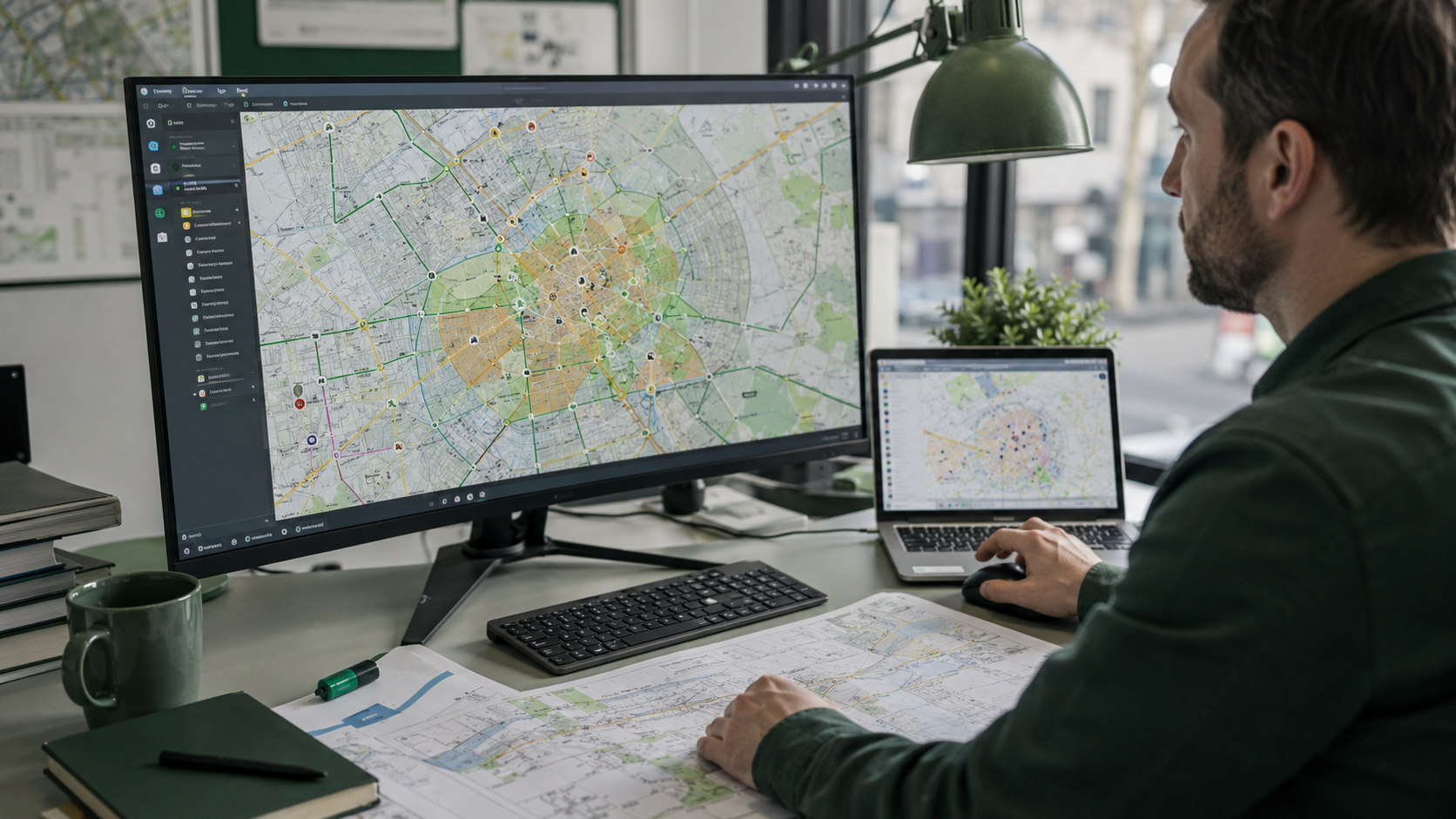
Civil Engineering Technology graduate specialising in GIS-based infrastructure planning, transport networks, walking network evidence and stormwater analysis.
Building practical, data-supported infrastructure solutions for safer and more accessible regional communities.

GIS · Transport · Stormwater
Council-style evidence, technical reporting and infrastructure planning support.
This portfolio is designed to prove practical graduate capability through project evidence, council-style thinking and controlled motion design.
Hands-on support across walking network, footpath and bus stop asset data used in council-style transport planning.
Projects are presented by problem, task, tool, judgement and result so recruiters can quickly understand real capability.
Clear reporting, WHS awareness, document control, standards awareness and practical civil engineering fundamentals.
GIS, transport planning, hydrology, geotechnical assessment, Excel workflows and technical reporting.
The portfolio is built around evidence recruiters can scan: tools, judgement, project context and outcomes.
Footpaths, bus stops, Queensland Globe, Intramaps, Excel and spatial data checks.
Pedestrian routes, walking network priorities, traffic counter inspections and LATM exposure.
RORB, ARR Data Hub, Rational Method, rainfall intensity, peak flow and hydrograph thinking.
Council-style reports, standards awareness, document control, WHS and LRRS-style clarity.
Each case study follows the same recruiter-friendly structure: problem, task, tools, result and skill shown.
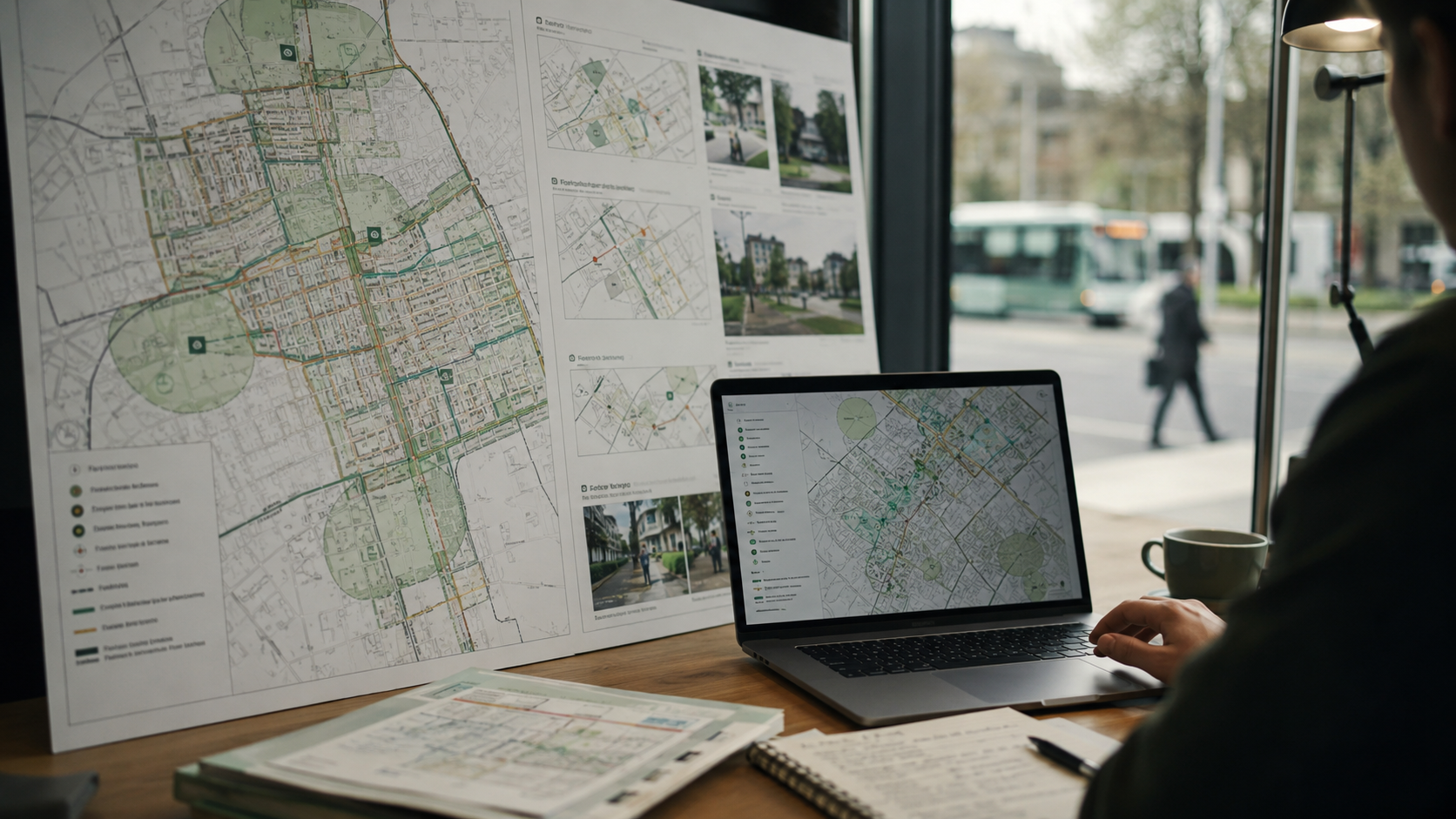
Council needed clearer walking network data and prioritisation evidence.
Digitise and score footpath records using spatial proximity criteria.
3,500+ footpath records reviewed, scored or organised for planning evidence.
Future pedestrian routes needed a simple evidence base for active transport planning.
Map route priorities and connect walking links to schools, shops and bus stops.
Supported safer, more accessible regional walking network planning.
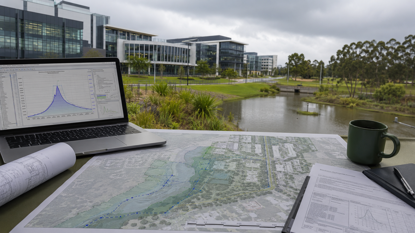
A campus catchment needed rainfall, discharge and drainage concept evidence.
Use rainfall inputs, flow estimation and hydrograph routing to explain stormwater behaviour.
Produced a structured hydrology workflow suitable for civil engineering review.
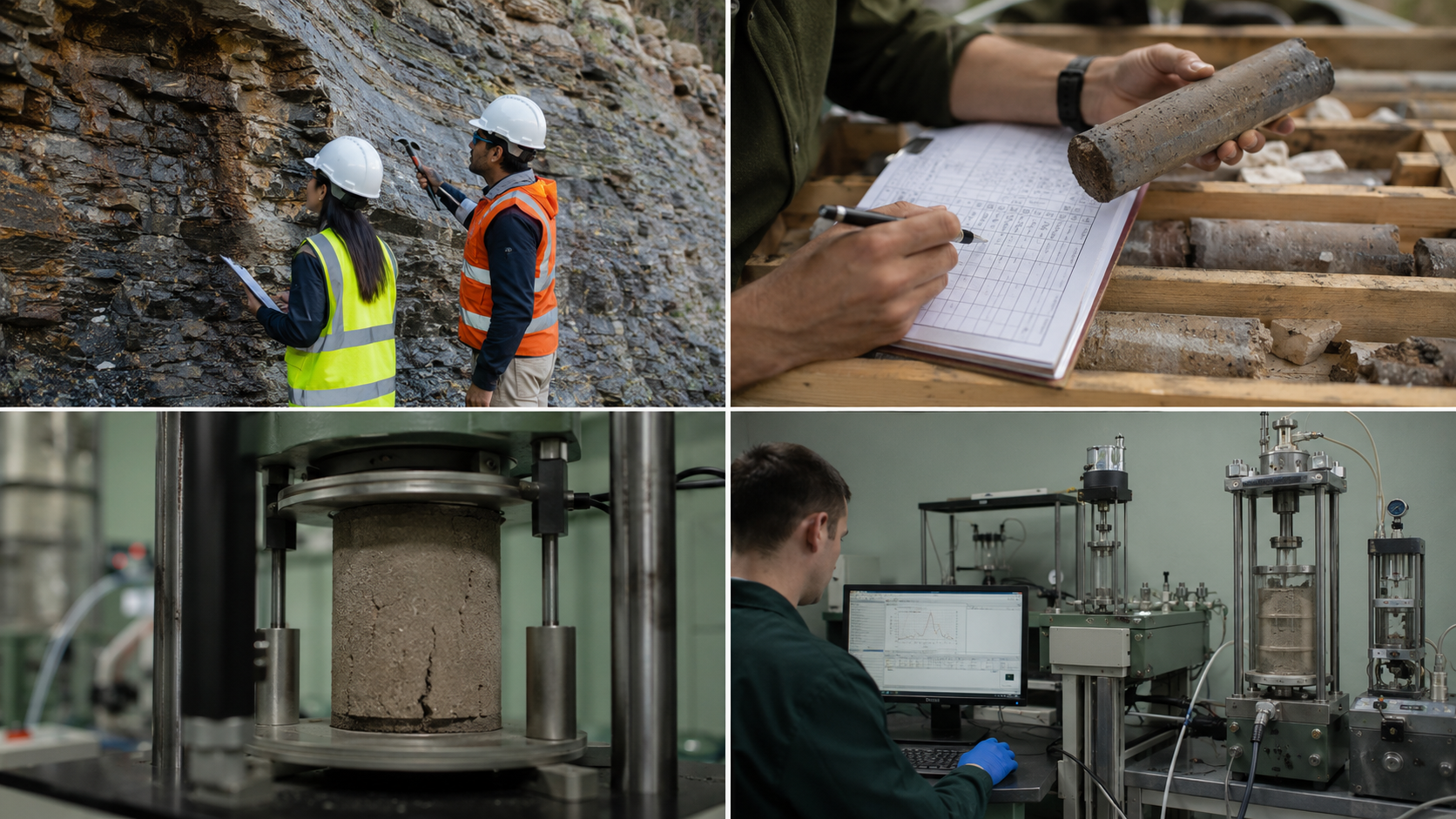
Site conditions and soil/rock behaviour needed interpretation from field and lab evidence.
Classify materials and connect lab results to civil engineering judgement.
Built practical site-assessment capability and documentation discipline.
The experience section is written to show practical exposure without exaggerating responsibilities.
Toowoomba Regional Council context
University of Southern Queensland / UniSQ
Reporting, safety and teamwork
The skill matrix is built for graduate civil/infrastructure applications and ATS scanning.
Realistic project visuals represent the GIS, hydrology, planning and infrastructure work included in the portfolio.

Workplace evidence, project outputs, tools and metrics are grouped so employers can review experience quickly.
Spatial thinking behind footpath scoring, route mapping, infrastructure layers and practical council planning.
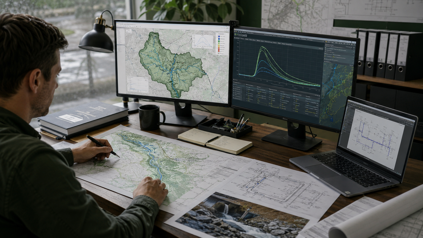
Rainfall, peak discharge, routed hydrographs and conceptual stormwater outputs aligned with engineering standards.
Civil engineering, transport, GIS and infrastructure support keywords included for recruiter scanning.
Use this section once the final PDF resume is placed in the documents folder.
Civil Engineering Technology Graduate
GIS | Transport Planning | Stormwater | Local Government Infrastructure
I combine GIS analysis, civil engineering fundamentals and council project experience across transport planning, walking networks, drainage, hydrology and technical reporting.
These are planned article ideas. They show direction without pretending the blog is already active.
Planned article
Planned article
Planned article
Planned article
Professional enquiries
Based in Toowoomba, Queensland. Open to graduate civil engineering, GIS, transport planning, stormwater and local government infrastructure opportunities. For genuine recruitment or professional enquiries, please connect through LinkedIn. Automated SEO, backlink, web design, marketing and unrelated sales messages are ignored.
Best contact method for genuine recruiters
Resume
View resume summary on this page
Location
Toowoomba, Queensland
Contact privacy
Direct personal email and phone are not published
For privacy and spam protection, direct personal email and phone details are not published on this website. Genuine recruiters and professional contacts can connect through LinkedIn.